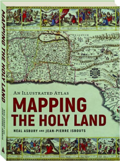
AN ILLUSTRATED ATLAS: Mapping the Holy Land
A stunning journey through the Holy Land, as told by the rare maps and prints that have long inspired Jewish, Christian and Muslim pilgrimages. Illustrated with rare, hand-colored maps and engravings throughout, this remarkable volume shows how the faithful overcame impossible odds to reach the Holy Land.
Format: Hardbound
Pages: 270
Publisher: Apollo
Publishing status: Current
Size: 7¾x10¼ inches
ISBN: 9781954641341
Item #: 9060251
Published at $40.00
Price cut to
$19.95
(Save $20.05)


