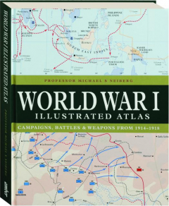
WORLD WAR I ILLUSTRATED ATLAS: Campaigns, Battles & Weapons from 1914-1918
A complete history of WWI in map form, from the early months of the war and the fierce fighting on the Western and Eastern Fronts, through the developing war in the Mediterranean and Middle East, to the vital war at sea and the final Allied push towards the German border in 1918. Fully illustrated some in color.
Format: Hardbound
Pages: 192
Publisher: Amber
Publishing status: Current
Size: 8¼x10½ inches
ISBN: 9781838863548
Item #: 1994999


